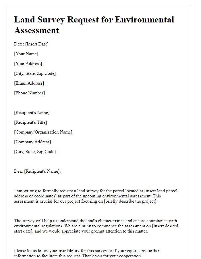
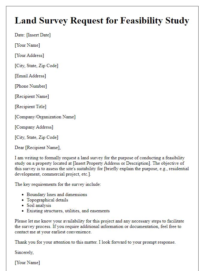
Are you looking to get precise measurements and vital data for your construction project? Understanding the importance of a thorough land survey can help ensure the success of your endeavor. In this article, we'll guide you through the essential elements of a letter template to request land survey services from a contractor. So, grab a cup of coffee and dive into the details to learn how to craft the perfect request!

Clear identification of parties involved
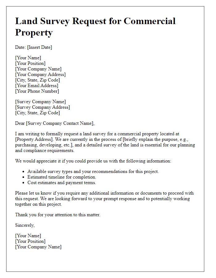
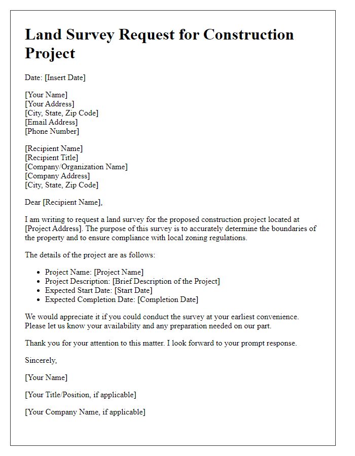
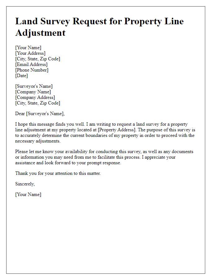
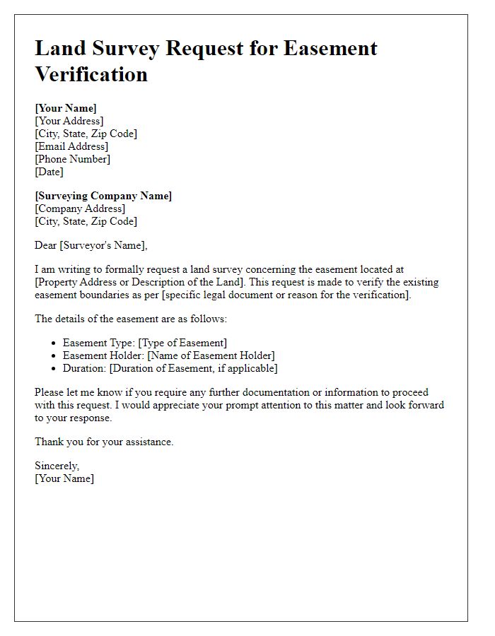
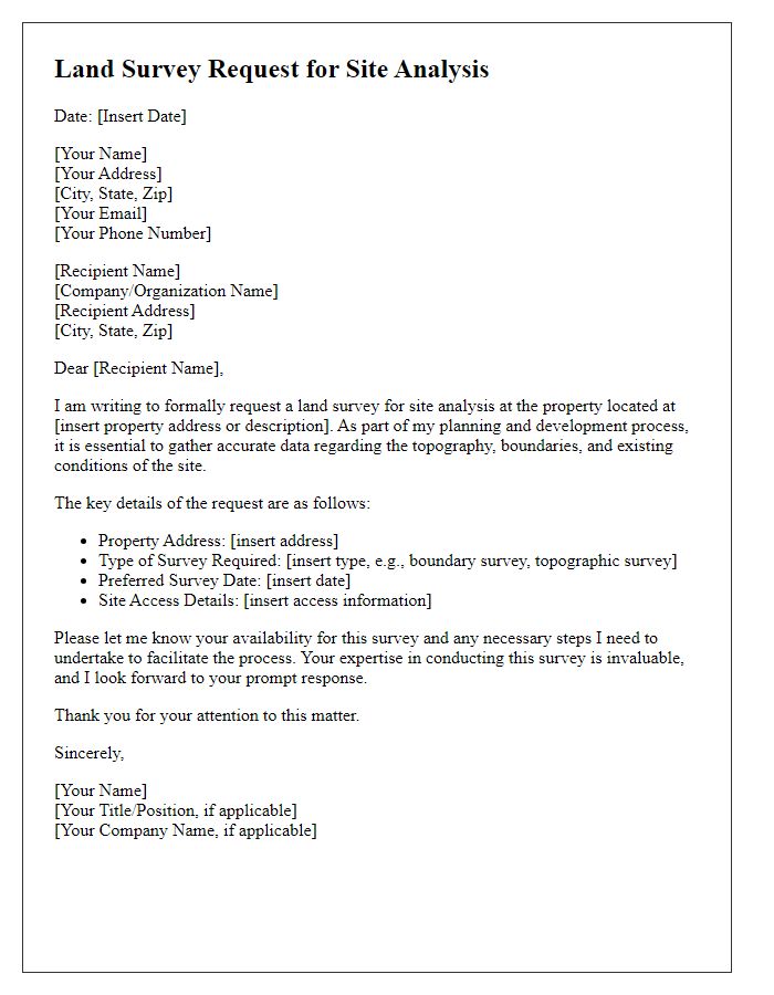
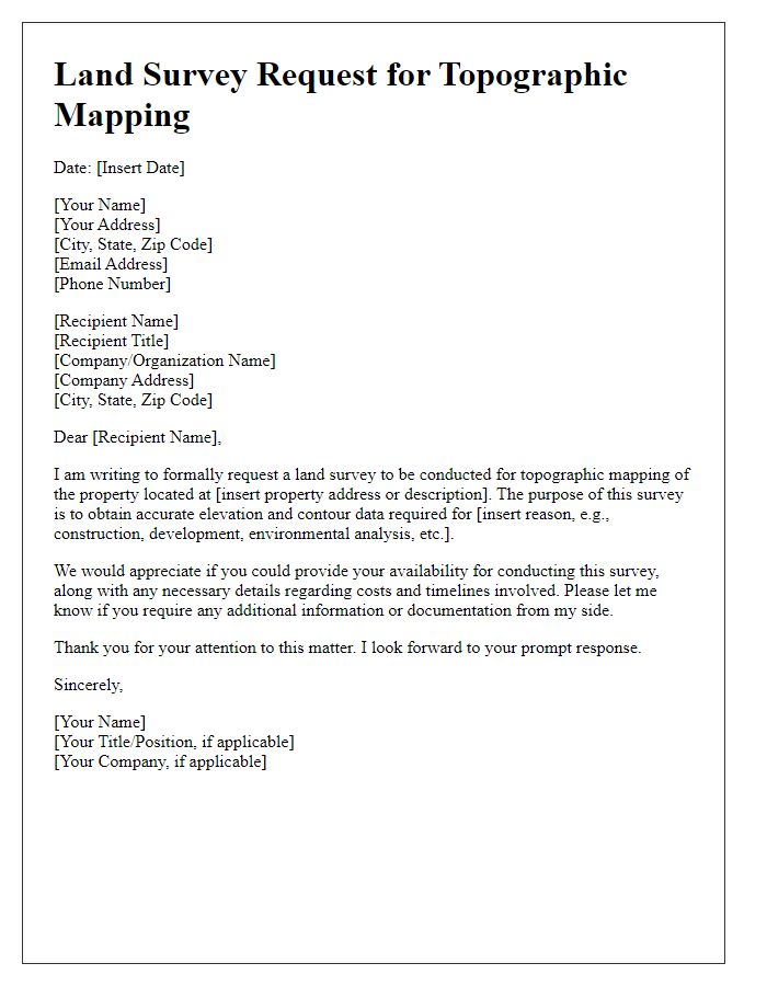
A contractor land survey request must include essential details for effective communication and processing. The requesting party, often a construction firm or property developer, should state its full legal name, contact information, and the project title, including relevant permit numbers. The land surveyor's firm, responsible for conducting the survey, must be clearly identified with their official name, address, and contact details. Specific location details of the survey site, such as the property address, parcel number, and any notable landmarks, should accompany this information to provide context. Defining the scope of the survey, including types needed (boundary, topographic), establishes expectations. Providing dates for the survey's start and completion can facilitate scheduling and timely reporting. Ensuring clarity in these elements lays the groundwork for an efficient survey process.
Detailed property description
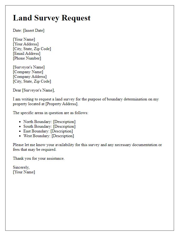
Requesting a land survey for a specific plot of property requires precise and detailed information. The property, located at the corner of Maple Avenue and Oak Street in Springfield, encompasses approximately 2.5 acres. Bordered by the Springfield Creek to the north and residential properties to the east and south, the parcel is characterized by a gently sloping terrain. The legal description of the property includes Lot 24, Block 15 of the Maple Grove Subdivision, with GPS coordinates approximately 39.12345 latitude and -77.98765 longitude. The land is currently undeveloped and largely timbered, with a few cleared areas. Additionally, it is subject to local zoning regulations under the Springfield Planning Commission, set for potential residential development, necessitating accurate boundary identification and topographical assessment for compliance and planning purposes.
Specific survey services requested
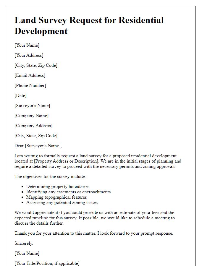
The request for survey services at the designated construction site in Springfield involves specific assessments for accurate land measurements and topographical analysis. The survey must include boundary line adjustments, detailed elevation data, and potential encroachments, ensuring compliance with local zoning laws. The total area of the site spans approximately 7 acres, requiring precision to identify existing infrastructure such as utility lines and easements. Additionally, the survey should provide a thorough analysis of any geographical features, including wetlands, trees, or slopes exceeding 15 degrees, which may influence project planning and environmental assessments. Timely completion of this survey is crucial for adhering to the project timeline, targeting completion within a 30-day window.
Proposed timeline for completion
Contractors often require clear communication when it comes to land survey requests, particularly regarding the proposed timeline for completion. A detailed timeline ensures that all parties understand project milestones and deadlines. For instance, a typical land survey may take approximately two to four weeks, dependent on the project's size and complexity. Initial site assessments might occur within the first week, while drafting and report preparation can take an additional week, often requiring verification against local regulations. Additionally, scheduling conflicts with local zoning boards or environmental assessments might extend the timeline by several days. Effective project management often includes regular updates during this period to maintain alignment with scheduled progress and any unforeseen delays related to weather or site access.
Contact information for follow-up
A comprehensive land survey encompasses essential aspects such as topographical features, property boundaries, and zoning compliance. Accurate measurements are crucial for identifying land use potential in residential developments, commercial projects, or agricultural assessments. The surveyor's expertise in utilizing advanced technology, such as GPS and GIS (Geographic Information Systems), enhances precision and efficiency. A detailed report, including site plans and elevation data, assists project stakeholders in making informed decisions. Prompt communication with the contracting firm ensures timely execution of services, essential for adhering to project timelines. Establishing clear contact information facilitates follow-up inquiries and updates, streamlining collaboration and resource allocation.



Comments