Are you looking to resolve land disputes or simply want to understand your property boundaries better? Requesting a land survey can provide the clarity you need in these situations. This guide will walk you through crafting a clear and effective letter to initiate the process. So, let's dive into the essential elements of a land survey request letter!

Recipient's Information
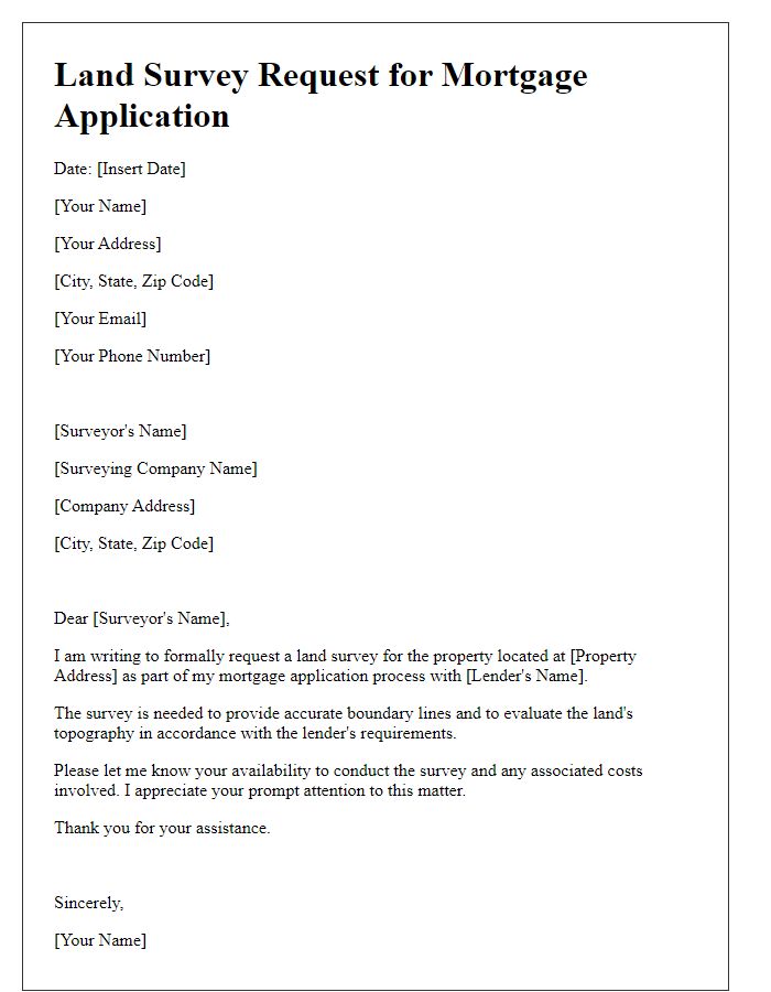
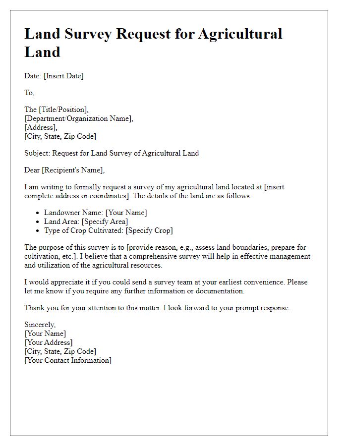
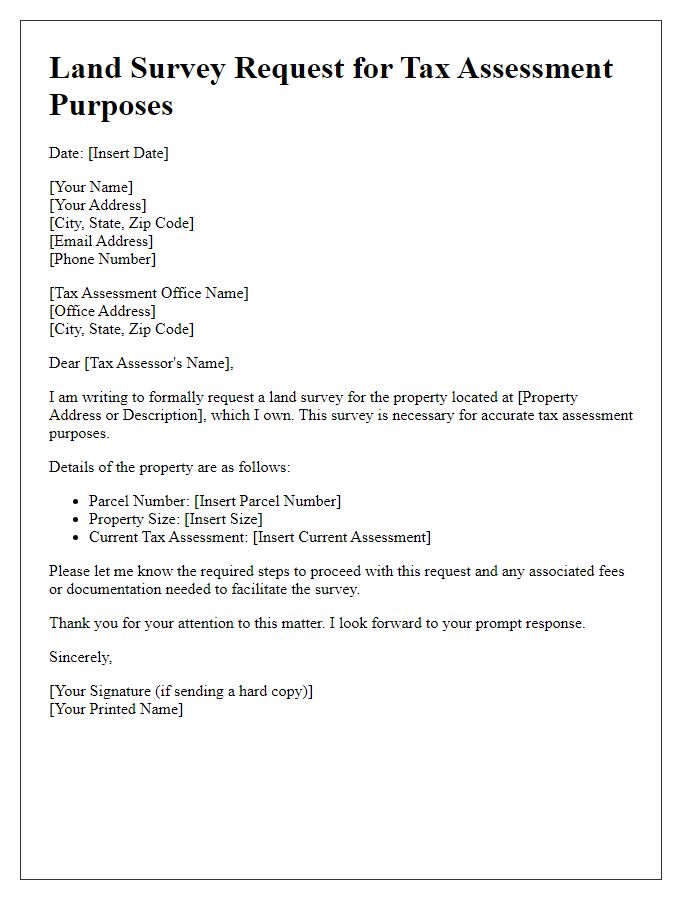
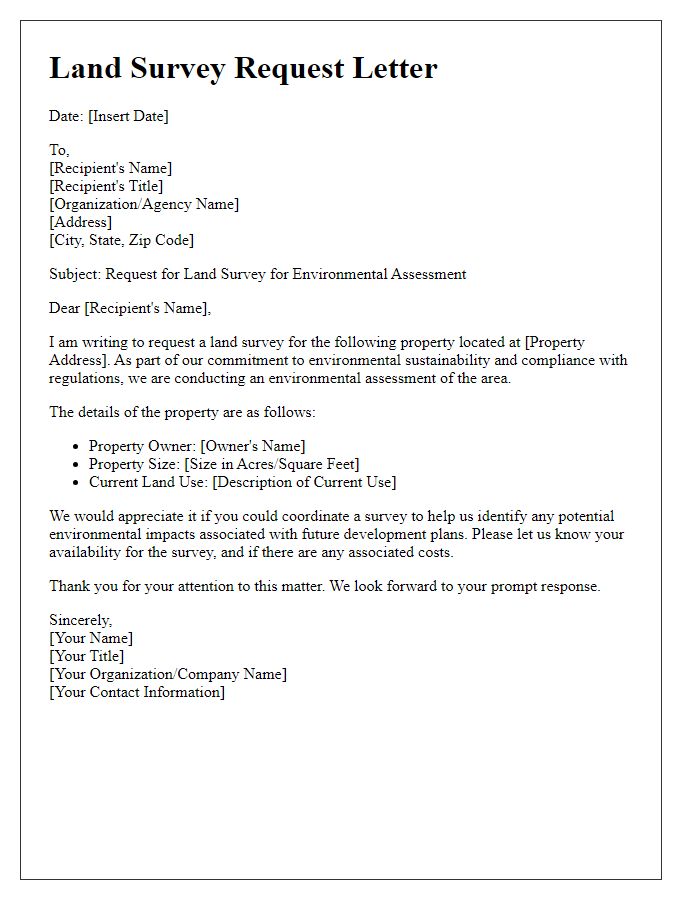
A land survey request typically requires detailed information about the recipient, which may include the name of the individual or organization, address (including street, city, state, and zip code), phone number, and email address for efficient communication. Accuracy in these details ensures proper delivery of the request. It may also be relevant to mention specific titles or roles within the organization, such as 'Land Use Manager' or 'Property Developer,' to address the communication appropriately. This information is essential for coordinating the logistics of the survey, including scheduling and accessing the property for measurements and analysis.
Purpose of the Request
Land survey requests serve various purposes, including boundary determination, property valuation, and development planning. A boundary determination survey clearly defines property lines using GPS technology and historical title data, helpful in resolving disputes or establishing property rights. Property valuation surveys provide essential information for buyers and sellers in real estate transactions, aiding in accurate appraisals that reflect current market conditions. Development planning surveys, crucial for construction projects, involve topographic mapping to evaluate land features, ensuring compliance with zoning regulations and environmental assessments while influencing design choices. Each type of survey requires professional expertise to produce reliable, precise results tailored to specific needs.
Property Details
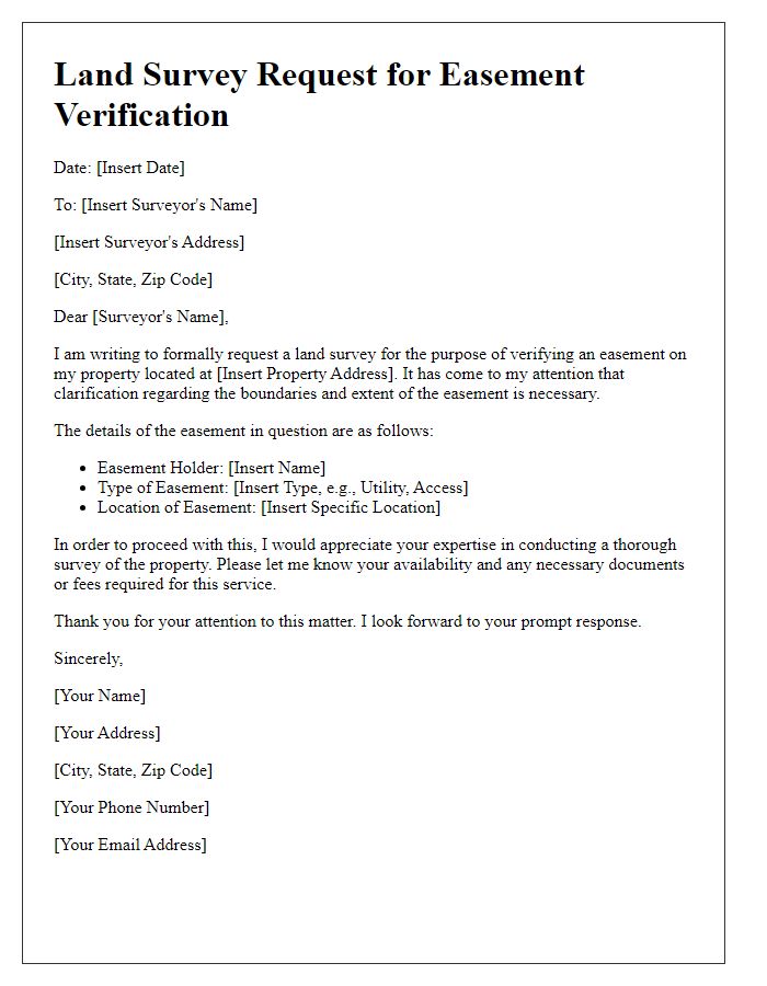
Property details, including the location (123 Maple Street, Springfield), size (0.5 acres), and boundaries (North: Oak Tree, South: Park Boundary) are crucial for accurate land surveys. The property's zoning classification (Residential Zone R1) affects potential development options, while the existing easements (utility access on the East side) must be documented to avoid future legal issues. Recording the property's legal description (Lot 5, Block 2, Springfield Subdivision) ensures that survey results align with county records. Specific landmarks nearby (e.g., Springfield High School, 0.3 miles East) provide additional context for surveyors. Accurate assessment often requires detailed GPS coordinates to define precise property lines and elevation data for topographical maps, enhancing the overall understanding of the site's characteristics.
Access Permissions
Access permissions for land surveys can be crucial for various projects, including construction, environmental assessments, or property evaluations. When a land survey is required, property owners must grant access to surveyors, ensuring that all legal and logistical aspects are addressed. Specific details, such as the land's geographical boundaries, applicable laws in the region (e.g., zoning regulations in Los Angeles County), and the proposed survey dates, should be clearly outlined. Acquiring permissions helps avoid delays and potential disputes while facilitating a thorough understanding of land features (topography, drainage, and vegetation) that might impact project outcomes. Proper documentation serves as a safeguard for both parties involved and ensures compliance with local regulations.
Contact Information
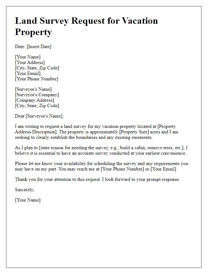
A land survey request needs clear and precise contact information to facilitate communication between parties involved in the survey process. Essential details should include the surveyor's name, firm or company name, and mailing address. Include phone numbers (both office and mobile) for immediate inquiries, as well as email addresses for digital correspondence. Additionally, provide relevant property details, such as parcel number and specific location (like street address or coordinates), to ensure accurate identification of the land to be surveyed. Accurate contact information streamlines the requesting process and promotes timely responses.



Comments